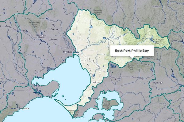
About the area
The West Port Phillip Bay groundwater catchment extends to the north and west of Melbourne, covering its western suburbs, part of Geelong, and the Bellarine Peninsula.
The West Port Phillip Bay groundwater catchment contains the Cut Paw Paw groundwater management area (GMA), Lancefield GMA, Merrimu GMA, and Deutgam water supply protection area (WSPA). The area not covered by these is reported as outside management units.
Groundwater resources within the catchment supply licensed entitlements, domestic and stock use, and urban use to Blackwood, Lancefield, and Romsey.
More information on water management and accounting is detailed in Water explained.
2022-23 overview
Urban supply
Groundwater supplied to 1 town in the catchment.
Groundwater restrictions
Fewer restrictions than the previous year; 100% allocation for Deutgam WSPA.
Water use
Water used for consumptive purposes was similar to the previous year.
Climate
Rainfall
More rainfall was received in the West Port Phillip Bay groundwater catchment in 2022-23 compared to the previous year, being above the long-term average in most areas. Rainfall was:
- very much above average in the north around Macedon and Ballan
- above average across the rest of the catchment.
Figure 1 displays the rainfall received in 2022-23 compared to the long-term average (1975-2023).
Figure 1: Rainfall deciles, West Port Phillip Bay groundwater catchment
Sourced from the Australian Bureau of Meteorology
Groundwater level trends
In the Accounts, groundwater level trends for groundwater management units (GMUs) have been determined by monitoring data from key bores in the State Observation Bore Network. Trend determinations are made quarterly by comparing each reading to a previous reading in the same season 5 years prior; for example, a summer record is compared to the summer record from 5 years earlier to account for seasonality.
Groundwater resources are being actively managed. For more detail on management responses, go to on the Southern Rural Water website.
In 2022-23, the groundwater level trend for the Lancefield GMA was declining towards the end of the year. Trends for the Merrimu GMA and Deutgam WSPA were rising and stable, respectively towards the end of the year.
There are insufficient state observation bores in the Cut Paw Paw GMA to adequately define the groundwater resource or changes to the resource over time.
Table 1: Groundwater level trends, West Port Phillip Bay groundwater catchment
Response to water availability
Groundwater restrictions
In the Deutgam WSPA, there were no restrictions on groundwater licences in 2022-23. This was different to the previous year when groundwater licences were only able to take 50% of their entitlement.
Allocations in all other GMUs in the catchment were not restricted.
Entitlements and use
Groundwater licence and use volumes in the West Port Phillip Bay groundwater catchment are shown below. Domestic and stock use does not require a licence, so in the Groundwater availability and use table, these rows only report water taken.
The licensed volume used under entitlements must not exceed the volume made available to individual licensed entitlement holders. We report on compliance in the GMU local reports and in Statewide groundwater.
Water used
Use in the West Port Phillip Bay groundwater catchment was 2,761 ML, similar to the 2,763 ML used in the previous year.
Entitlement volumes
Rights to water in the West Port Phillip Bay groundwater catchment are shown below.
Table 2: Groundwater entitlements at 30 June, West Port Phillip Bay groundwater catchment
Available water and use
The table below shows the total water available and used under entitlements, and estimated domestic and stock use in 2022-23. Total water available under entitlements is the sum of opening carryover, allocation issued and the net trade in or out of water.
Estimated domestic and stock use is calculated based on an assumed usage per registered bore per year. In this catchment, the assumed usage is 1.5 ML usage per bore per year.
More information on groundwater use and availability has been detailed in How we account for .
In 2022-23, 2,761 ML of water was extracted for consumptive purposes, which was similar to the 2,763 ML extracted in the previous year. Of this volume, 1,191 ML was for non-urban (irrigation) use, 49 ML was for urban use, and 1,521 ML was estimated to be for domestic and stock use.
Table 3: Groundwater availability and use, West Port Phillip Bay groundwater catchment
Management responsibilities
Management of water in the West Port Phillip Bay groundwater catchment is undertaken by Southern Rural Water.
| Authority | Management responsibilities |
|---|---|
| Southern Rural Water |
|