About the area
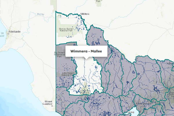
The West Wimmera groundwater catchment is in the far west of Victoria. The Victoria-South Australia border forms the catchment’s western boundary.
The West Wimmera groundwater catchment is fully covered by the West Wimmera groundwater management area (GMA).
Groundwater resources within the catchment supply licensed entitlement, domestic and stock use, and urban use to Apsley, Harrow, Miram, Serviceton, Edenhope, Kiata, Goroke, Lillimur, Kaniva, and Nhill.
The area that extends 20 km east from the border forms part of the Designated Area for the purposes of the 1985 Border Groundwaters Agreement between Victoria and South Australia.
Management responsibilities within the Designated Area are shared between Grampians Wimmera Mallee Water and the Government of South Australia.
More information on water management and accounting is detailed in Water explained.
2024-25 overview
Urban supply
Groundwater supplied to 10 towns in the catchment.
Groundwater restrictions
The Neuarpur subzone 1 was restricted to 80% of licensed volume, the same as the previous year.
Water use
More water was used for consumptive purposes than the previous year.
Climate
Rainfall
Less rainfall was received in the West Wimmera groundwater catchment in 2024-25 than the previous year, ranging from below the long-term average to the lowest recorded in the reference period (1975 to 2025) across the catchment. Rainfall was:
- below average across the catchment’s far south
- very much below average around Little Desert National Park and in the catchment’s far north-east
- the lowest recorded in the reference period (1975 to 2025) across most of catchment’s north and centre.
Figure 1 displays the rainfall received in 2024-25 compared to the long-term average (1975-2025).
Figure 1: Rainfall deciles, West Wimmera groundwater catchment
Sourced from the Australian Bureau of Meteorology
Groundwater level trends
In the Accounts, groundwater level trends for groundwater management units (GMUs) have been determined by monitoring data from key bores in the State Observation Bore Network. Trend determinations are made quarterly by comparing each reading to a previous reading in the same season 5 years prior; for example, a summer record is compared to the summer record from 5 years earlier to account for seasonality. These trends are shown in Table 1 below.
Groundwater level trends reporting in the Accounts does not necessarily represent the status of the resource for management purposes. Groundwater resources are actively managed by rural water corporations. For more detail on management responses, go to Groundwater on the Grampians Wimmera Mallee Water
In 2024-25, groundwater level trends for the West Wimmera GMA and Neuarpur subzone 1 were stable towards the end of the year.
Table 1: Groundwater level trends, West Wimmera groundwater catchment
Response to water availability
Groundwater restrictions
In 2024-25, licence holders in the Neuarpur subzone 1 - a trading zone in the West Wimmera GMA - were restricted to 80% of their licence volume, the same as the previous year.
Entitlements and use
Groundwater licence and use volumes in the West Wimmera groundwater catchment are shown below. Domestic and stock use does not require a licence, so in the Groundwater availability and take table (Table 3), these rows only report water taken.
The licensed volume used under entitlements must not exceed the volume made available to individual licensed entitlement holders. We report on compliance in the GMU local reports and in the Statewide groundwater summary.
Water used
Use in the West Wimmera groundwater catchment was 24,619 ML, more than the 19,814 ML used in the previous year.
Entitlement volumes
Rights to water in the West Wimmera groundwater catchment are shown below.
Table 2: Groundwater entitlements at 30 June, West Wimmera groundwater catchment
Available water and take
The table below shows the total water available and taken under entitlements, and estimated domestic and stock use in 2024-25. Total water available under entitlements is calculated as the sum of: opening carryover from the prior year (where available), allocation issued during the reporting year, and the net trade in or out of water, across all entitlements. The level of allocation issued is reduced if there are any restrictions in place.
Estimated domestic and stock use is calculated based on an assumed usage per registered bore per year. In this catchment, the assumed usage is 2 ML per bore per year.
More information on groundwater use and availability has been detailed in How we account for
In 2024-25, 24,619 ML of water was extracted for consumptive purposes, which was more than the 19,814 ML extracted in the previous year. Of this volume, 23,140 ML was for non-urban (irrigation) use, 659 ML was for urban use, and 820 ML was estimated to be for domestic and stock use.
Table 3: Groundwater availability and take, West Wimmera groundwater catchment
Management responsibilities
Management of water in the West Wimmera groundwater catchment is undertaken by various parties.
| Authority | Management responsibilities |
|---|---|
| Grampians Wimmera Mallee Water |
|
| Government of Victoria / Government of South Australia |
|