About the area
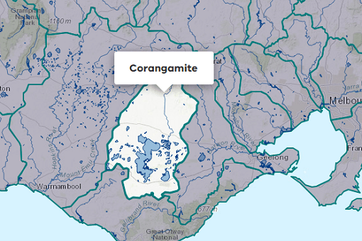
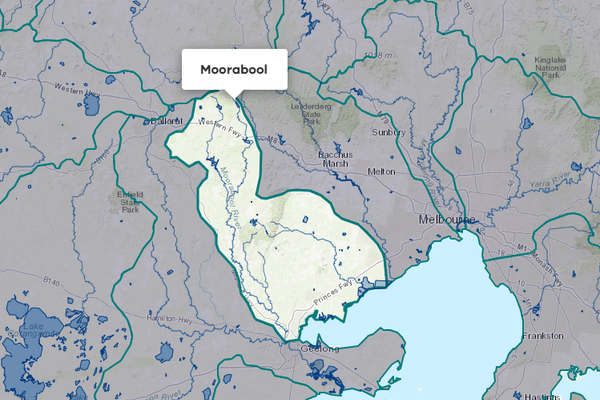
The Barwon River rises in the forested Otway Ranges. It flows through the townships of Birregurra, Winchelsea and Inverleigh, where it is joined by the Leigh River, before joining the Moorabool River and flowing through Geelong and the Lower Barwon Wetlands, reaching the coast at Barwon Heads.
Annual rainfall in the basin is between 600-1800 mm based on the headwaters and reduces to 400-600 mm in the lower reaches.
More information on water management and accounting is detailed in Water explained.
2024-25 overview
Available water
Catchment inflow was lower than the previous year.
Licensed diversion restrictions
There were more restrictions on licensed diversions than the previous year.
Water use
Less water was diverted for consumptive purposes than the previous year.
When compared to the previous year, in 2024-25:
- more rainfall was received; however, catchment inflow was lower, and levels in the major storages ended the year lower
- there were more restrictions on licensed diversions from streams
- less water was diverted from the basin for consumptive uses.
Climate
Rainfall
In 2024-25, rainfall received in the Barwon basin was higher than the previous year. Rainfall was:
- average in the basin’s east, encompassing Geelong and most of the Bellarine Peninsula
- below average across the rest of the basin.
Figure 1 displays the rainfall received in 2024-25 compared to the long-term average (1975-2025).
Figure 1: Rainfall deciles, Barwon basin
Sourced from the Australian Bureau of Meteorology
River basin water balance
This section describes the known and estimated inflows, outflows and change of storage volumes in the basin.
More detail on major on-stream storages, catchment inflows, diversions and small catchment dams can be found in the sections below the water balance.
Of the total inflows, 42% flowed out into the ocean in 2024-25.
Water balance table
The table below shows the total volumes of water available and supplied from water resources in the Barwon basin in 2024-25.
Table 1: Water balance, Barwon basin
Major on-stream storages
Major - greater than 1,000 ML - on-stream storages in the Barwon basin are included in the water balance. Volumes in off-stream storages are presented for additional information about the resource condition.
Storage levels
Major storage levels in the Barwon basin were 27% on 30 June 2025.
Lower than the previous year
Storage levels were 42% on 30 June 2024.
Table 2: Storage levels, Barwon basin
Inflows
Catchment inflow
Catchment inflow represents the volume of water flowing into the waterways of a basin. It is calculated as the total outflows and change in storage minus the known inflows.
Below average inflows of 72,369 ML were received (30% of the long-term average of 239,100 ML), lower than the previous year (42% of the long-term average).
Below average inflow received
Catchment inflow was 30% of the long-term average of 239,100 ML.
Less water received than the previous year
Catchment inflow was lower than the previous year (42% of the long-term average).
Wastewater treatment plants
Water treated at wastewater treatment plants can be used to supplement water available in the basin. Water discharged to waterways from treatment plants is included as an inflow to the water balance.
Information on treatment plants is reported in the water supply local reports for the water corporation responsible for managing the plant.
In this basin, wastewater treatment plants are managed by Central Highlands Water and Barwon Water.
Outflows
Diversions
In 2024-25, 29,141 ML of water was diverted for consumptive uses: town, domestic and stock, irrigation and commercial supply. This was less than the 38,045 ML diverted in the previous year.
Small catchment dams
Water harvested, used and lost by small catchment dams (farm dams) is included in the water balance.
Table 3: Small catchment dams, Barwon basin
Entitlements and compliance
Entitlements provide the basis for how water is shared in the basin.
Entitlement volumes
Rights to water in the Barwon basin are shown in Table 4.
Entitlement volumes represent an indication of a maximum volume of water that can be taken or allocated in any one year depending on the rules of the entitlement. The volume available in a particular year is dependent on the rules for allocating water set out in the entitlement, the seasonal conditions in that year and how much water was carried over from the previous year, which can vary. The rules for allocating water under an entitlement differ between entitlements and systems. This affects the ability and likelihood of water being taken in a particular year.
Table 4: Annual entitlement volumes at 30 June, Barwon basin
Available water and take under entitlements
Total water available under entitlements represents the volume of water that was available to be taken by entitlement holders in 2024-25. The volume includes carryover from the previous year, seasonal allocations and net trade into the basin.
Water taken
There was 27,537 ML used in 2024-25, less than the previous year (36,489 ML).
Restrictions on licensed diversions from streams
- Restrictions on licensed diversions from Zones A, B and C of the Barwon River peaked in March 2025 when all 3 stream sections where banned or restricted.
- During March 2024 of the previous year, a ban and Stage 4 roster were in place in Zone A and B of the Barwon River, respectively.
- There were no restrictions in place for any stream sections from July to October 2024, and in June 2025.
Available water and take table
This table shows the volume of available water and the volume taken under entitlements in 2024-25.
More information on available water and take has been detailed in How we account for surface
In 2024-25, less water was taken under entitlements than the previous year.
Table 5: Available water and take under entitlements, Barwon basin
Compliance
Compliance against water entitlements is reported for this basin in 3 areas:
- entitlement issued: that the volume of entitlements issued in a basin does not exceed formal caps, and has not increased without appropriate approvals
- water taken: that the volume of water taken during the year does not exceed the volume considered to be available for consumptive and/or in-stream use during that year
- bulk entitlement provisions: that holders of entitlements do not breach any provisions that are documented in their bulk entitlement orders.
Key points on compliance against entitlements in 2024-25
Total entitlement volume
There was an allowed 13 ML net increase in the total entitlement volume from the previous year due to a dimension update on a small catchment dam licence.
Total volume diverted
The total volume diverted under entitlements (27,537 ML) was within the volume available for the year (70,740 ML).
Individual bulk entitlements
No individual bulk entitlement holder took more than the annual volume made available to them.
Exceptions to compliance
Individual bulk entitlement holders complied with all provisions in their entitlements. However, one compliance difficulty was reported. See note below.
Note to exceptions to compliance:
- The Victorian Environmental Water Holder (VEWH) reported one metering plan for the Upper Barwon River Environmental Entitlement 2018 as incomplete. As previously reported in 2023-24, DEECA has agreed to extend the deadline for completion of the Upper Barwon River Environmental Entitlement 2018 metering plan until at least 2025, at which time VEWH will be required to submit updated metering plans for all entitlements with metering plan obligations, to comply with new guidelines that have been developed by DEECA. The agreed time extension is to enable the water corporation metering plans to be developed first. The intention was that the metering plan would be completed in 2025-26.
Water for the environment
Environmental watering sites
Environmental watering sites and environmental values in the Barwon basin that depend on water for the environment include:
- the Bellarine Peninsula’s internationally significant wetlands, which are listed under the Ramsar Convention and which rely on freshwater inputs from the Barwon basin to function ecologically
- the Lake Connewarre complex
- native fish populations (such as Australian grayling, Yarra pygmy perch, Australian mudfish and tupong)
- the native waterbird population (particularly migratory shorebirds including the common greenshank, Pacific golden plover, curlew sandpiper and red-necked stint)
- platypus populations in the upper and middle catchment.
Environmental water reserve
In 2024-25, water for the environment in the Barwon basin comprised:
- the Barwon River Environmental Entitlement 2011
- the Upper Barwon River Environmental Entitlement 2018, which includes 3.8% of inflows to West Barwon Reservoir held by the VEWH
- water from the Ballarat South Wastewater Treatment Plant released into the Leigh and Barwon rivers
- a portion of the treated groundwater discharged from the Fyansford quarry to the lower Moorabool River
- water set aside for the environment through the operation of passing flow conditions:
- on consumptive bulk entitlements held by Barwon Water and Central Highlands Water
- on licensed diversions
- all other water in the basin not allocated for consumptive uses: this water also provides social, recreational and cultural benefits.
Environmental water use
In 2024-25, a total of 386 ML of environmental water was delivered in-stream in the Barwon basin. Environmental water was also delivered to the lower Barwon wetlands. While this was not measured as per rules under the Barwon River Environmental Entitlement 2011 (see Table 5), it was managed through manipulation of the water level to achieve desired outcomes.
Management responsibilities
Management of water in the Barwon basin is undertaken by various parties
| Authority | Management responsibilities |
|---|---|
| Barwon Water |
|
| Central Highlands Water |
|
| Corangamite Catchment Management Authority |
|
| Southern Rural Water |
|
| Water supply system | 2023-24 (ML) | 2024-25 (ML) |
|---|---|---|
| Geelong/Bellarine | 24,007 | 19,506 |
| Greater Ballarat system | 10,089 | 5,902 |